Home
/
4WD & Caravan/Communication & Navigation/GPS Navigators
/
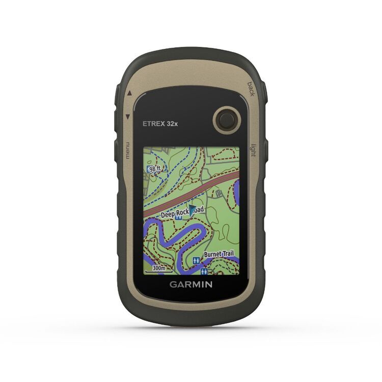
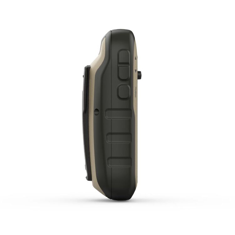
Garmin eTrex 32x Rugged Handheld GPS with Compass and Barometric Altimeter Black
Garmin eTrex 32x Rugged Handheld GPS with Compass and Barometric Altimeter Black
Quantity
-
Detail
If you're nervous about directions for your next hiking or geocaching adventure, stress less with Garmin's eTrex 32x Rugged Handheld GPS with Compass and Barometric Altimeter! This GPS comes with an inbuilt compass and barometric alimeter. Also compatible with GLONASS technology. This GPS comes preloaded with TopoActive maps with routable roads/trails, suitable for hiking and cycling. With water resistance through their IPX7 Waterproofing and 25 hours of battery life, what's not to love? Anaconda supports all of your adventuring needs, shop online or in-store today.
- Features
- Supports both GPS and GLONASS satellite systems for tracking in challenging environments
3-axis compass and barometric altimeter
65K colour, sunlight-readable 240 x 320p colour display
Durable and water resistant
Preloaded with TopoActive maps with routable roads and trails for cycling and hiking, featuring streets, trails, waterways and thousands of points of interest
Battery life: up to 25 hours in GPS mode with 2 AA batteries
Paperless geocaching - upload GPX files to the device and view key information
Supports BirdsEye Satellite Imagery (subscription required), so you can download and integrate satellite imagery with your maps
8 GB of internal memory plus a microSD? card slot
Display type: 2.2" transflective, 65K colour TFT
Display resolution: 240 x 320 pixels
Battery life: 25hrs
Interface: Mini USB
Memory: 8GB of internal memory plus a 32GB max microSD card slot
Preloaded maps: TopoActive routable and basemap
Ability to add maps: Yes
Automatic routing (turn by turn routing on roads) for outdoor activities
Map segments: 3000
BirdsEye: 250 BirdsEye imagery files
Includes detailed hydrographic features (coastlines, lake/river shorelines, wetlands and perennial and seasonal streams)
Includes searchable points of interests (parks, campgrounds, scenic lookouts and picnic sites)
Displays national, state and local parks, forests, and wilderness areas
External memory storage: 32GB max microSD? card (sold separately)
Waypoints/favourites/locations: 2000
Tracks: 200
Navigation track log: 10000 points, 200 saved tracks
Navigation routes: 200 routes, 250 points per route - 50 points auto routing
High-sensitivity receiver
GPS
GLONASS
Barometric altimeter
Compass: tilt-compensated 3-axis
GPS compass (while moving)
Point-to-point navigation
Area calculation
Hunt/fish calendar
Sun and moon information
Custom maps compatible: 100 custom map tiles
Picture viewer
- Additional Information
- 2 x AA batteries are required - batteries are not included
- Model / Product Code
- 010-02257-02
- Material
- Polymer/Silicon/Glass
- Water Proof
- Yes
- Power Source
- 2 x AA batteries - NiMH or Lithium recommended
- Dimensions
- 54 x 103 x 33mm
- Product Weight
- 141.7 g (with batteries)
- Contents
- 1 x eTrex 32x
1 x USB cable
1 x Manual
- Warranty
- 12 months
- Primary Activity(s)
- 4WD & Offroad
- EAN 753759230838
-
Customer ReviewsNo comments


