Home
/
4WD & Caravan/Communication & Navigation/Maps & Atlases
/
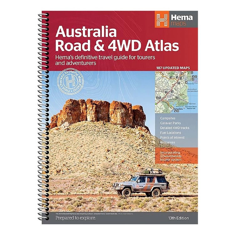
Hema Maps Australia Road & 4WD Atlas
Hema Maps Australia Road & 4WD Atlas
Quantity
-
Detail
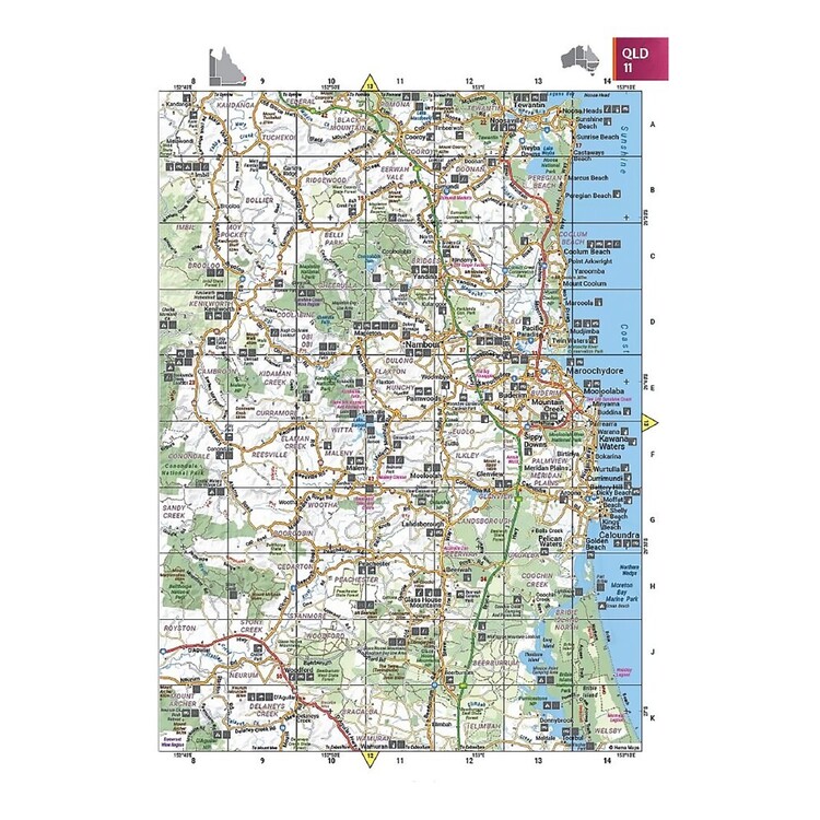
Hema Maps have put out a new edition of their Australia Road & 4WD Atlas to help plan your next road trip. Never miss a good spot with 4WD tracks, campsites, caravan parks, rest areas and 24-hour fuel stations pointed out clearly in the atlas. This atlas includes up to date mapping for - Cape York, Fraser Island, the Top End, the Kimberley, the Pilbara, Central Australia, High Country Victoria and the Flinders Ranges for just a few. This is the perfect guide to never miss a bathroom break or an opportunity to explore, pick up your copy online or in-store today at Anaconda.
- Features
- Over 2230 caravan parks and tourist parks
Over 1890 pet-friendly parks clearly highlighted with new symbols
100% researched and updated
Street address and GPS positions of each site
Comprehensive information about each site
Sites overlaid on Hema's most detailed road atlas ever
Numbered caravan symbols show location on the mapping
Colourful symbols show facilities at a glance
Complete list of public Dump Points
Perfect to use by itself or in conjunction with the Camps 11 Guidebook and the Camps Australia Wide App.
As sites change throughout the year, free Caravan Parks 6 updates are offered for 2 years - available for download from the Camps Australia Wide website at any time.
Specifications
?Edition: 6th
?Publication Date: 14/01/22
?Number of Pages: 362
?Dimensions: H 297 x W 210 x D 20mm
?Weight: 1.34kg
- Model / Product Code
- 9781922668011
- Material
- Paper, Plastic
- Dimensions
- 297 x 210 x 20 mm
- Product Weight
- 1.5 kg
- Contents
- 1 x Atlas
- Warranty
- 12 Months
- Primary Activity(s)
- Camping
4WD & Offroad
- EAN 9781922668011
-
Customer ReviewsNo comments


