Home
/
4WD & Caravan/Communication & Navigation/Maps & Atlases
/
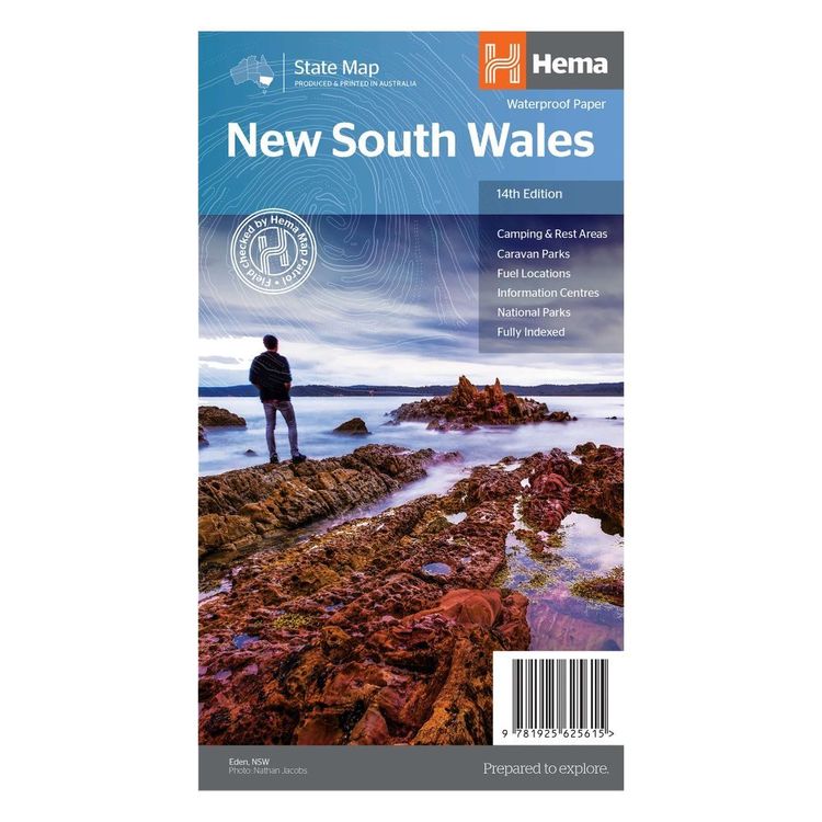
Hema New South Wales State Map Multicoloured
Hema New South Wales State Map Multicoloured
Quantity
-
Detail
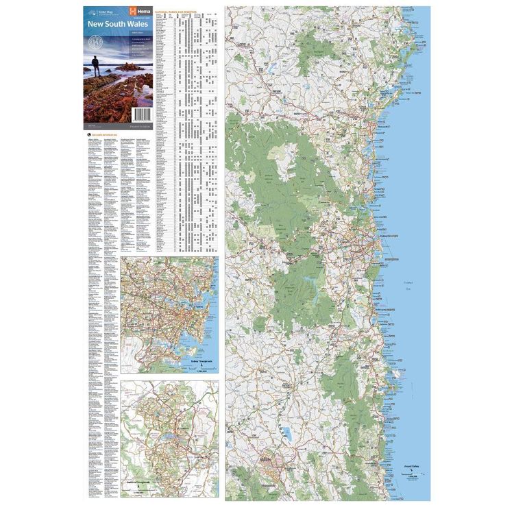
A state map of New South Wales (NSW) at a scale of 1:1,500,000. Marked on the map are national parks, points of interest, 24-hour fuel in addition to camping and rest areas. On the reverse side are CBD maps of Sydney and Canberra, as well as a Sydney regional map, a Sydney throughroads map, and maps of Blue Mountains National Park and the region between Katoomba and Wentworth Falls. There is a full index included, as well as all national park information.
- Features
- Full map of New South Wales
Major road networks and distances marked
Includes CBD inset of all Sydney and Canberra as well as Sydney's throughroads
Inset maps of Blue Mountains National Park
- Primary Activity(s)
- Travel
4WD & Offroad
Caravanning
- EAN 9781865009742, 9781925625615
-
Customer ReviewsNo comments


