Home
/
4WD & Caravan/Communication & Navigation/Maps & Atlases
/
Hema South East Queensland Map Multicoloured
Hema South East Queensland Map Multicoloured
Quantity
-
Detail
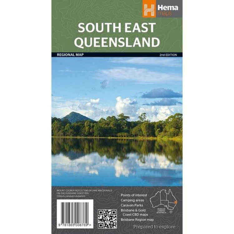
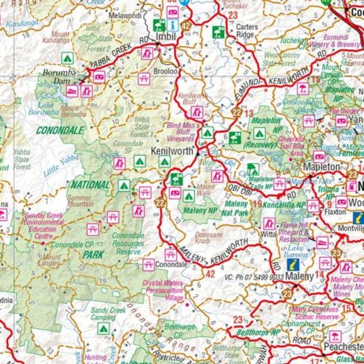
A regional map of South East Queensland (1:500,000) that stretches from the New South Wales-Queensland (QLD) border to past Bundaberg, with maps of the Brisbane Region (1:300,000), Brisbane City and the Gold Coast on the opposite side. Marked on the map are points of interest, caravan parks, camping areas, national parks and more. Also included are rail and ferry network maps as well as a Brisbane region suburb and location index.
- Features
- Features information on major touring routes
Major tourist attractions and road distances marked
National parks marked including contact information and events
Camping areas and points of interest included throughout
Rail and ferry network maps included
- Material
- Paper
- Dimensions
- 100 x 70 cm
- Packed Dimensions
- 25 x 14 cm
- Contents
- 1 folded map
- Primary Activity(s)
- Travel
Caravanning
- EAN 9781865008769, 9321438001638
-
Customer ReviewsNo comments


