Home
/
4WD & Caravan/Communication & Navigation/Maps & Atlases
/
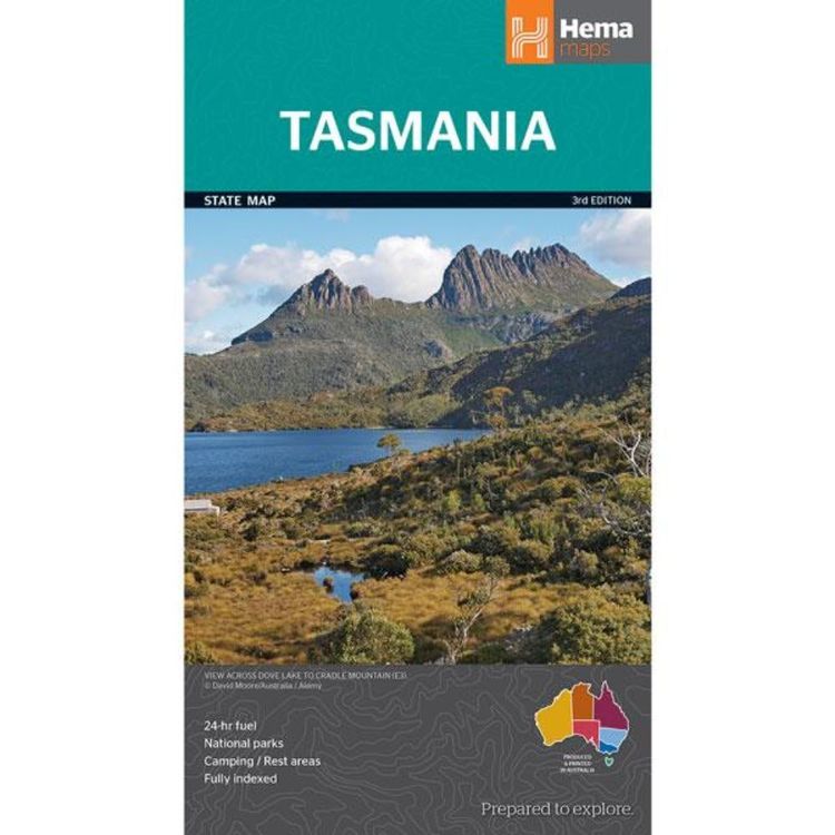
Hema Tasmania State Map Multicoloured
Hema Tasmania State Map Multicoloured
Quantity
-
Detail
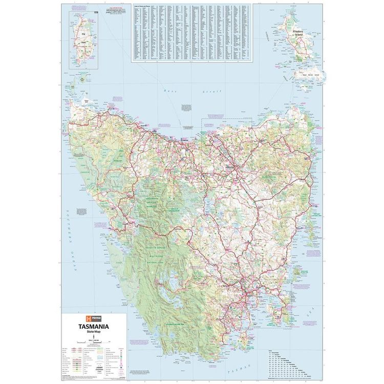
A fully indexed state map of Tasmania (TAS) at a scale of 1:480,000. Marked on the mapping are national parks, 24-hour fuel as well as camping and rest areas. On the reverse are regional maps of Launceston and Hobart, as well as CBD maps of Hobart, Launceston, Devonport and Burnie.
- Features
- Full map of Tasmania
Major road networks and distances marked
Includes CBD inset of Hobart, Launceston, Devonport and Burnie
Camping, rest areas and visitor information centres featured
- Material
- Paper
- Dimensions
- 100 x 70 cm
- Packed Dimensions
- 25 x 14 cm
- Contents
- 1 folded map
- Primary Activity(s)
- Travel
Caravanning
- EAN 9781865009728, 9321438002208
-
Customer ReviewsNo comments


