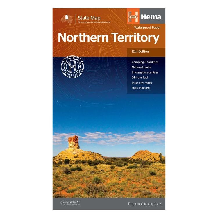
Hema Northern Territory State Map Multicoloured
Quantity
-
Detail
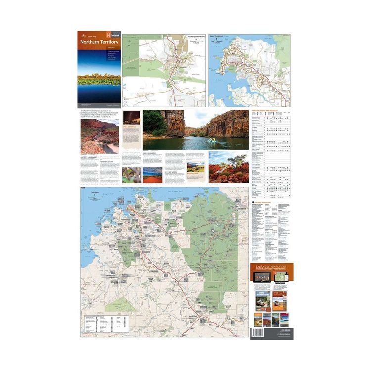
A touring map of the Northern Territory (NT) that features 24-hour fuel, camping areas and rest areas. Marked on the map are highways, major roads and minor roads, national parks and Aboriginal land and various points of interest. The map is fully indexed, and includes a handy list of accredited visitor information centres.
- Features
- Full map of Northern Territory
Major road networks and distances marked
Includes CBD inset of Darwin
National parks and aboriginal land marked
Includes camping, rest areas and visitor information centres
- Primary Activity(s)
- Travel
4WD & Offroad
Caravanning
- EAN 9321438001508, 9781925625677
-
Customer ReviewsNo comments


