Rooftop Bright - Mansfield Map
-
Detail
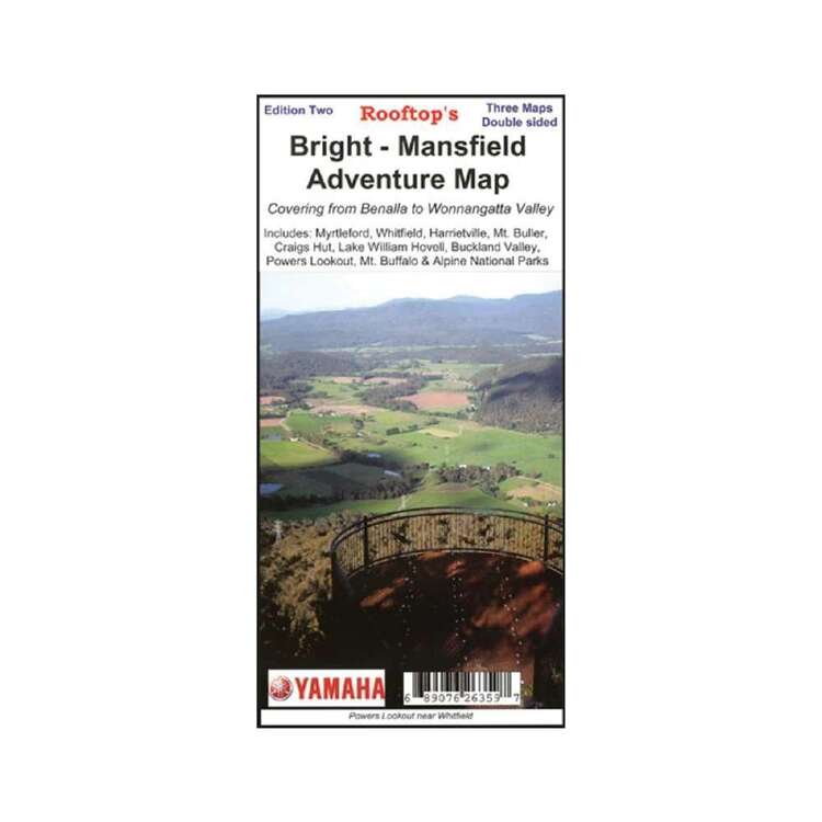
A map that covers Wonnangatta Approaches, Mt Buffalo Plateau, Alpine National Parks and more. A Bright and Mansfield town map is also a useful part to this map.
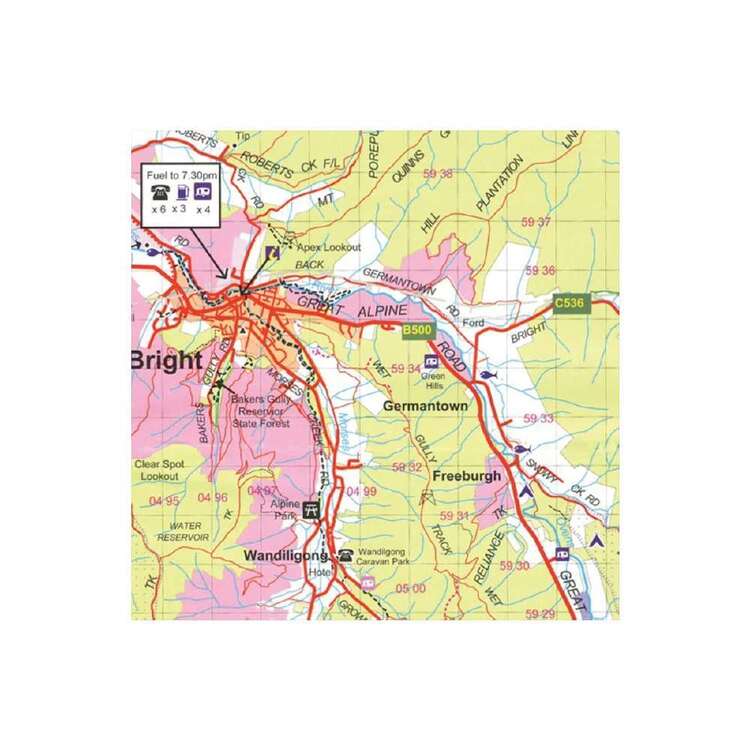
Map coverage is from Myrtleford, Bright, Moyhu and Benalla in the north to Mansfield, Mount Buller and Wonnangatta Station in the south. It includes Whitfield, Harrietville, Buckland, Buffalo River, Mount Buffalo, Powers Lookout and part of the Alpine National Park. Scale is 1:100,000.
The reverse of the map has a 1:50,000 scale enlargement titled 'Bright - Whitfield Forest Activities Map' featuring Mount Buffalo National Park which is ideal for bushwalking.
Rooftop Maps are a recommended map for 4X4 to Buckland Valley, Buffalo Valley, Tolmie, Toombullup, Cobbler Lake, King River.
All parks, reserves and state forests are shown and all roads and tracks have been plotted using GPS mapping technology.- Model / Product Code
- 9781921886188
- Material
- Paper
- Product Weight
- 9 g
- Warranty
- 12 months
- Primary Activity(s)
- 4WD & Offroad
- EAN 9781921886188
-
Customer ReviewsNo comments


